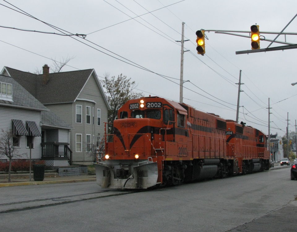
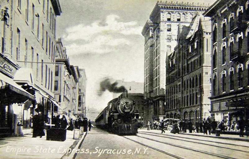
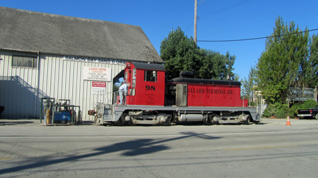
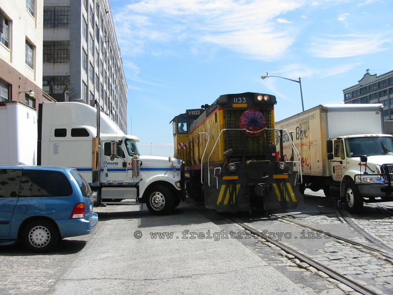
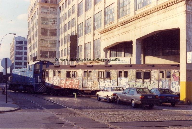
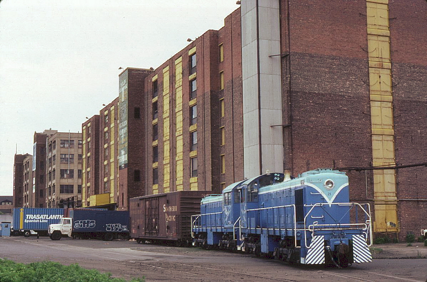
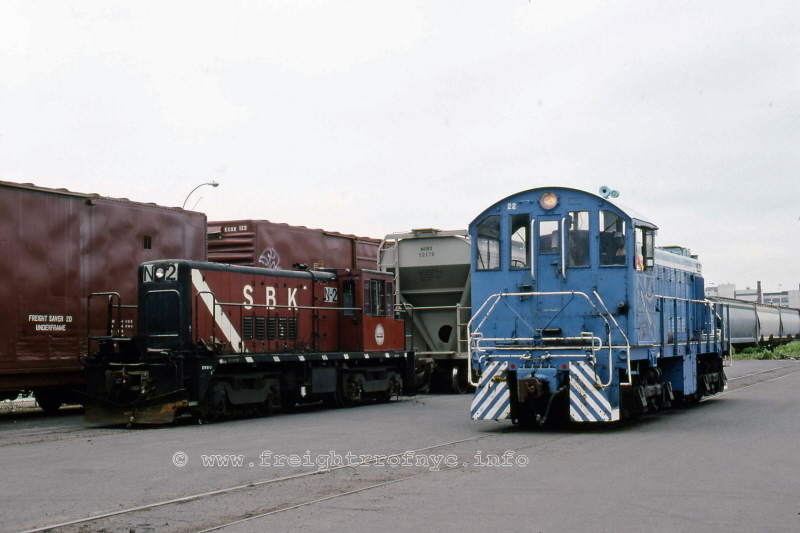
Lar's great thread about street-running modeling brought some examples. Rather than hijack his thread, How about listing the locations of street-running you know about so we can look the up using Google Earth and Historic Aerials?
Here are a couple in Southern California:
- Vermont Avenue -- Gardena, CA between Redondo Beach Boulevard and 166th Street (old PE/SP, now UP -- still in use) Dedicated right-of-way down center of street to 164th, then into the pavement for two blocks.
- Santa Ana Street/Olive Street -- Anahiem, CA. Track turns 90-degrees toward the south at Santa Ana and Olive. Old SP-served packing house district with a lumber yard on the corner of Santa Ana and Olive. Still in use.
Here's one in Wisconsin.
- Monroe Street -- Sheboygan Falls. Tracks run in pavement, street-adjacent. Line was abandoned by UP, but is supposedly to be resurrected.
Show us what you've found.


