Last Friday some friends and I headed over to the Mystic Lake trailhead south of Fishtail, MT. We chose not to proceed with the hike due to falling temperatures and increasing wind speeds, but I did take the chance to investigate an interesting tramway in the area.
The Montana Power Company completed the Mystic Lake hydroelectric facility in 1924. It is still in use today. It routes water from a high mountain lake (Mystic Lake) through a pipeline along the edge of a mountain, and then down a steep grade into the turbine house at the bottom of the hill. To transport materials and crew to construct the pipeline, dam, and other structures on the mountain, a tramway was built with two sections: one with a cable-assist to go up the initial 1000 foot climb, and one to snake along the side of the mountain to the dam.
The tramway is still in use today in order to maintain the facility (I found a few pictures and one video online), but none of the mobile tram equipment made an appearance during my brief visit last Friday. Still, it was rather exciting to see this secluded, historic "railway" that has seen consistent use for nearly 100 years. Using rudimentary methods (the terrain visual on Google Maps) I figured the tramway elevation gain is 1,000 feet over a run of 2,250 feet, giving a 44.4% grade.
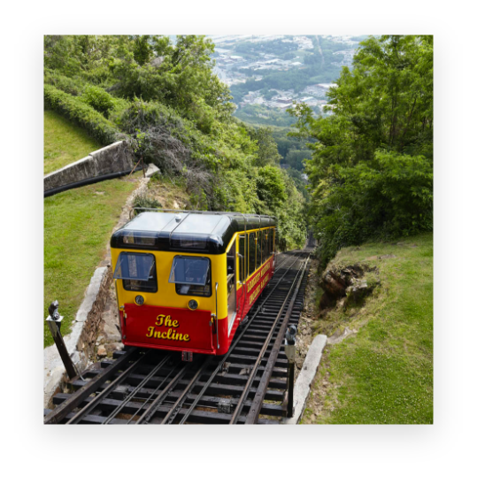
I see the now-defunct Mount Manitou Scenic Incline Railway had a maximum grade of 68%; does anybody know of other extreme "railway" grades like these? And does anyone have a working model of one? ![]()
(Forgive me for the attached portrait instead of landscape-formatted images)


